1745–1818
Inō Tadataka
Surveyor
Studied astronomy and surveying after retiring from business. Teams and local communities supported the surveys; the national maps were completed after his death.
Turning a measured route into a map
Measuring roads alone could not establish Japan’s shape. After business and community work in Sawara, Tadataka studied with Takahashi Yoshitoki and connected astronomical observation with ground measurement. Establishing positions on one map grew into nationwide surveys.
Distance alone could not place distant sites consistently on one map. Bearings and distances traced routes, while astronomical observation checked latitude. Comparing route measurements with observations helped adjust accumulated discrepancies. Surveying combined methods rather than relying on walking alone.
Organizing a team and connecting records
Surveying began with Ezo in 1800 and extended along coasts and roads. Team members, local guides and providers of food and lodging supported it. Ezo was inhabited by Ainu communities, not an empty frontier; survey work also belonged to shogunal policy and existing regional societies.
Bearings and distances went into field books for later calculation. Walking, recording and astronomical observation had to agree. Illegible numbers or inconsistent standards would prevent the measured route from being joined.
As surveying expanded, shogunal support increased; most of the project operated as government business. Lodging, food, guides and funds sustained long journeys, connecting Tadataka’s research interests with public organization.
Completion after his death and the maps’ survival
Tadataka died in 1818; pupils and the shogunate’s astronomical office completed Dai Nihon enkai yochi zenzu in 1821. Large, medium and small series served different uses. The large series comprised 214 sheets at 1:36,000, connecting nationwide records in detailed and overview maps.
The maps detail measured coasts and roads, not every inland area at uniform modern precision. Reachable routes and methods affected coverage. Connecting bearings, distances and astronomical observations nevertheless established a different nationwide cartographic basis.
Submitted maps were lost in the palace fire of 1873; household copies at Tokyo Imperial University were destroyed in 1923. Surviving copies and recent color restorations preserve the information through collecting and conservation. The date of the mapped Edo-period information differs from that of surviving paper or later coloring.
Turning points
- 1745
Born.
- 1790s
Studied astronomy in Edo after retirement.
- 1800
Began the Ezo survey.
- 1818
Died before the maps were completed.
- 1821
His pupils completed the national maps.
Their legacy
The maps combining survey records and observations were completed after his death. Surviving copies and reconstructed maps reflect the later work of compilation and preservation as well as measurement.
Related history
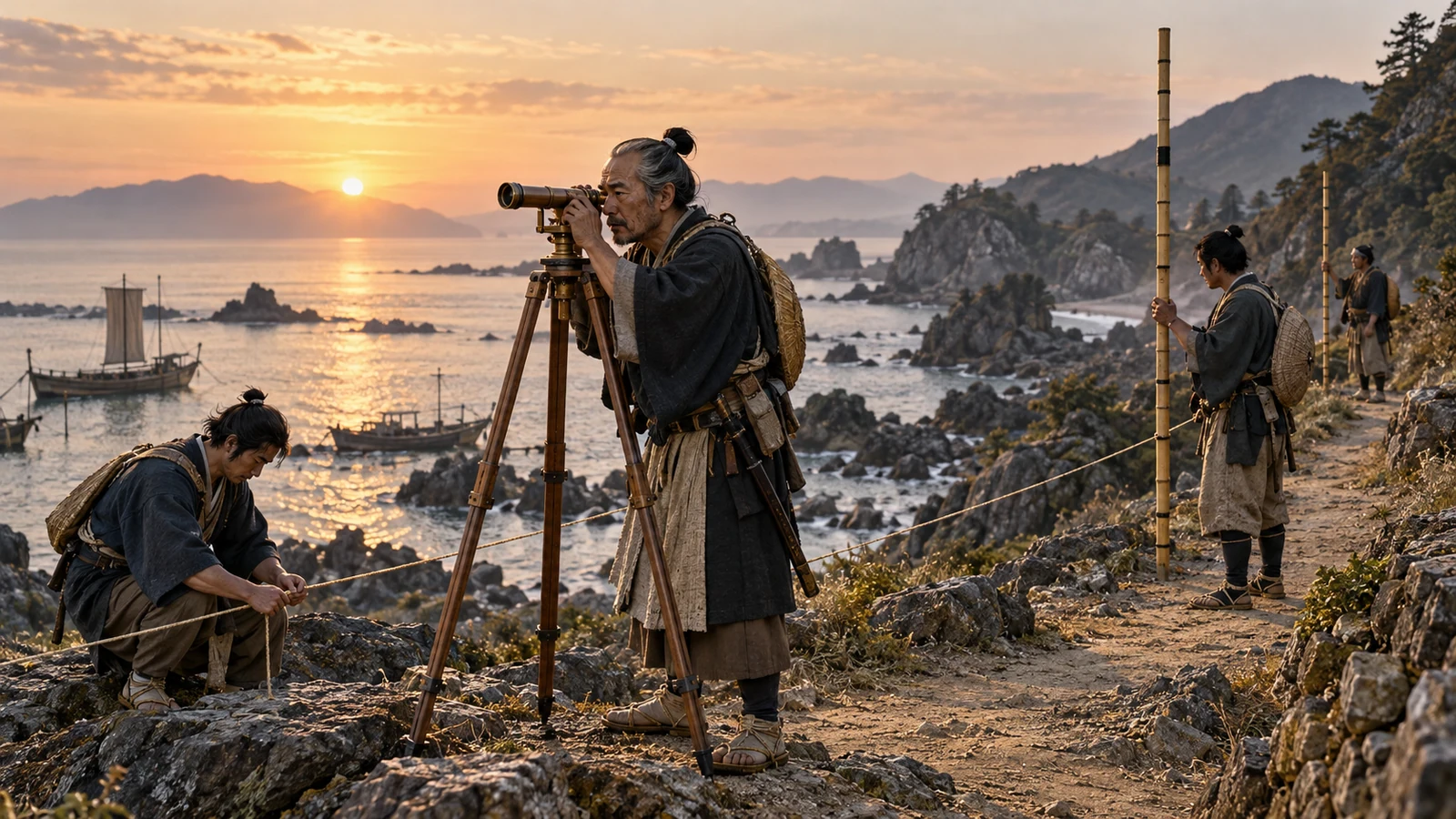
1800–1821 · Surveying and completing maps
How were the Inō maps measured and made?
Measured routes, recorded bearings and observed stars lay behind a team’s mapping work.
Sawara, Chiba / Fukagawa, Tokyo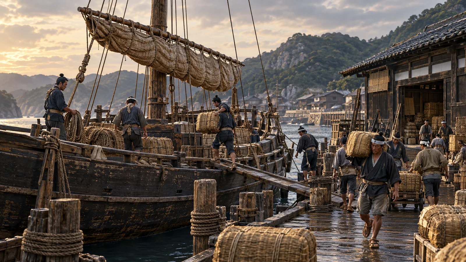
Eighteenth century–mid-Meiji · Sea of Japan routes
Trading at each port aboard a kitamae ship
Rice, kelp, herring and used clothes: voyages profited from trading, not only freight.
Hashitate, Ishikawa / Ishikari, Hokkaidō / OsakaSources
国土地理院 · Study after retirement, surveys and the maps’ completion in 1821.
国土地理院 · Surveys in 1800–1816 and map scales.
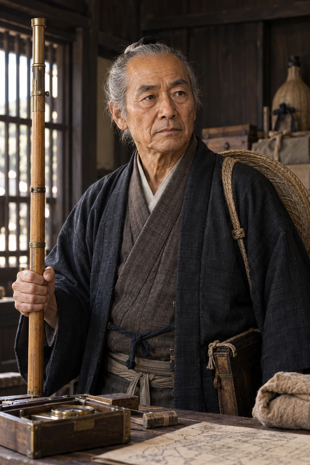
The portrait is an original historical imagining, not evidence of the person’s appearance.