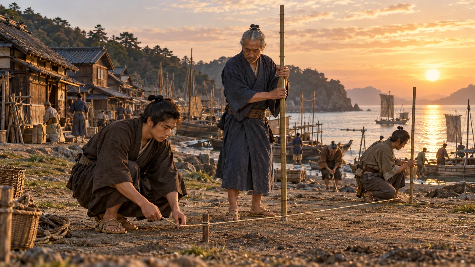
Around 1810 · A coastal survey · A Japanese coastal village and lodging
Carrying a coastline to the lodging desk
Sota, a survey assistant
Connect daytime measurements and night observations to the same survey point.
Cloud-hidden stars cannot be measured. Unfilled entries must be handed on too.
Begin the storyPreparing your story…
Explore the diagram: Turning measured routes into map lines
Turning measured routes into map lines
Is distance alone enough to plot the shape of a coast?
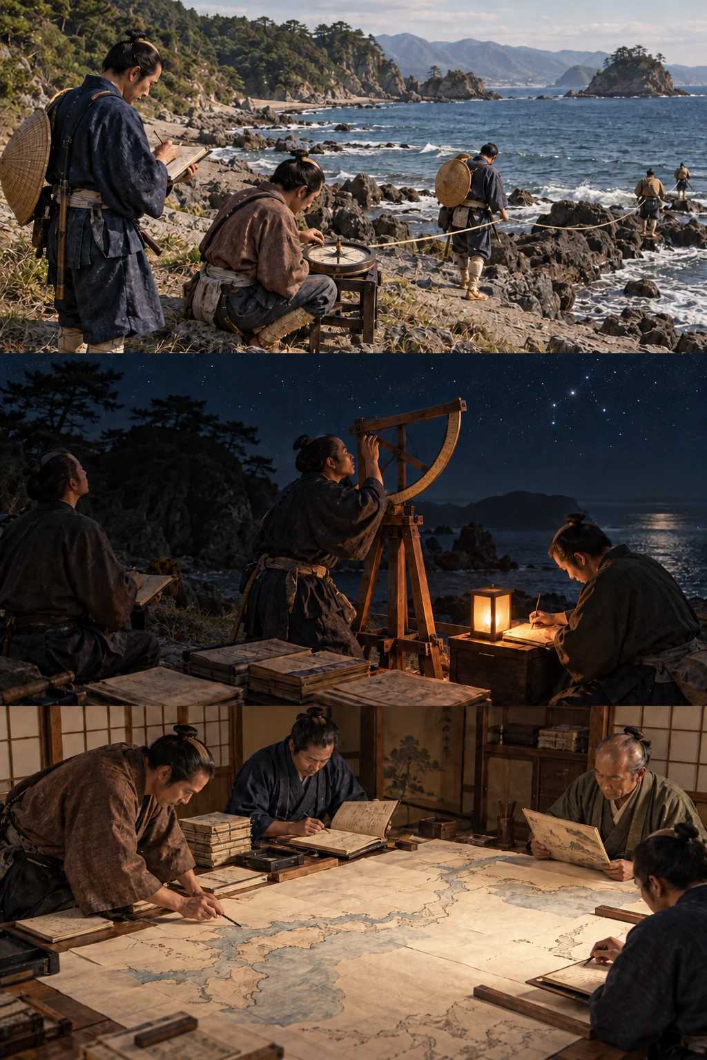
Joined segments reveal the route’s turns.
Distance needs direction
Record distance and bearing along a route. Equal distances in different directions lead to different places; successive measurements supply a map’s line.
Sources and scope
These illustrations explain processes and institutions rather than reconstructing actual people, buildings or layouts. Cutaways and insets show hidden structures or separate locations.
About Inō Tadataka ↗Inō maps ↗Sota, nineteen, his senior, the village, conversations and this survey are fictional. Activities simplify methods associated with the Inō surveys and do not reproduce actual measurements or a specific journal.
Explore the time and placeSources
- Inō Tadataka and chronology ↗
香取市・伊能忠敬記念館 · Business, astronomy, the 1800 survey, death in 1818 and completion in 1821.
- Inō maps ↗
国立国会図書館 · Scales, coverage, lost originals and surviving secondary copies.
- Records and instruments of Inō Tadataka ↗
香取市 · Journals, instruments, astronomical observations and latitude.