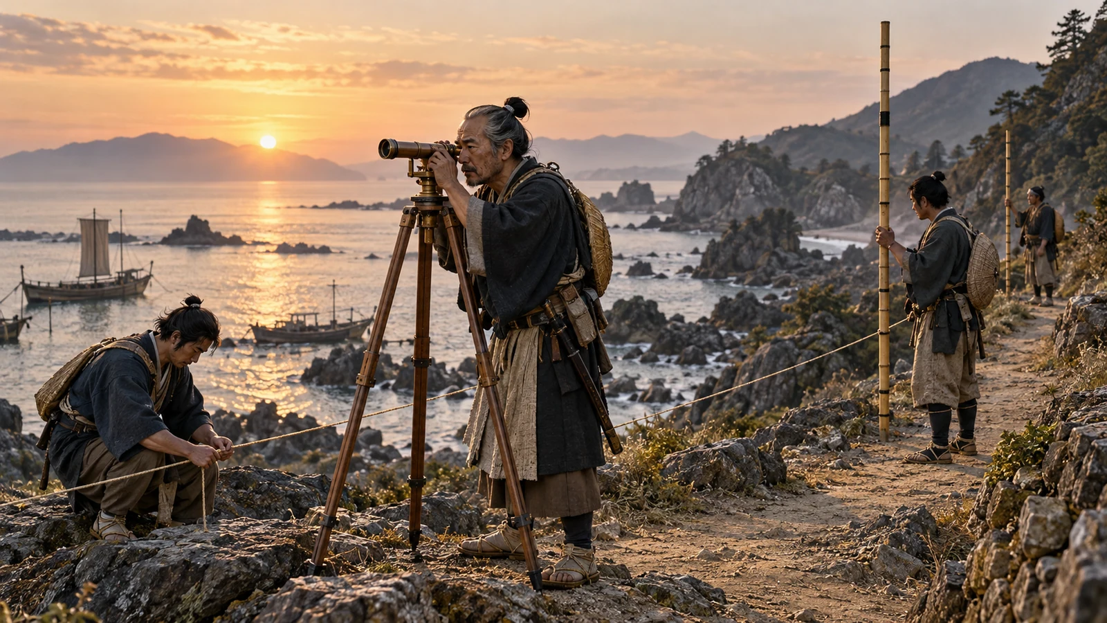
1800–1821 · Surveying and completing maps
How were the Inō maps measured and made?
Measured routes, recorded bearings and observed stars lay behind a team’s mapping work.
Turning measured routes into map lines
Is distance alone enough to plot the shape of a coast?
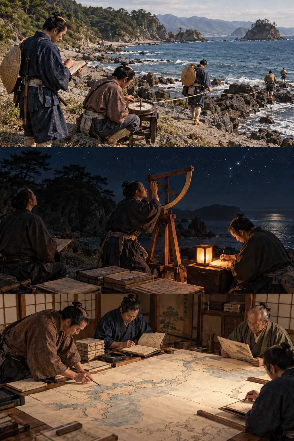
Joined segments reveal the route’s turns.
Distance needs direction
Record distance and bearing along a route. Equal distances in different directions lead to different places; successive measurements supply a map’s line.
Sources and scope
These illustrations explain processes and institutions rather than reconstructing actual people, buildings or layouts. Cutaways and insets show hidden structures or separate locations.
About Inō Tadataka ↗Inō maps ↗From commerce to astronomy
Distance alone cannot position a winding coastline: bearings are also needed, and astronomical latitude supplied an additional check on accumulated measurements. Tadataka passed on his household in 1794, studied in Edo from the following year and began surveying Tōhoku and southern Hokkaidō in 1800. Mapping required connecting different observations as well as travelling far.
Distance and bearing relate successive points, but errors can accumulate. Astronomical observations supplied an additional positional reference such as latitude. Neither observing stars alone nor counting footsteps alone established all positions; the methods had complementary roles.
Measure, record and connect
Instruments, diaries and mapped results preserve different stages of teamwork. Measurements needed identification and comparison before becoming lines and shapes. Looking only at the final map hides that labour; examining the surviving materials together connects field procedures with compilation.
Tadataka did not participate personally in the Izu Islands expedition of 1815–1816. Teamwork and records continued beyond his presence. Distinguishing his route from the project’s coverage recognises collaboration without diminishing his contribution. A map’s familiar personal name does not identify one person as every worker.
Completion and survival after his death
Tadataka died in 1818 before completion in 1821. Compilation continued after fieldwork. Large, medium and small maps differ in scale and detail. Producing another scale is an editorial task, not simply displaying the same sheet at a smaller size.
The National Diet Library holds 43 sheets of an early Meiji copy of the 214-sheet large map. Survey coverage, the complete compilation and one institution’s surviving holdings are different matters. Dates of original compilation and later copying must be distinguished, extending the history into preservation and access.
Large, medium and small compilations had 214, eight and three sheets. Scale changes the relationship between detail and overview; survey subject, compilation and copying dates are also distinct.
Eastern coastal maps were submitted in 1804 before later regional surveys. Intermediate products and final compilation show staged expansion and continuity of records, not one journey inferred backward from the completed map.
Before and after
- 1795
Tadataka studies under Yoshitoki in Edo.
- 1800
The first survey begins.
- 1818
Tadataka dies.
- 1821
The completed maps are presented to the shogunate.
Key terms
- Bearing
- The direction of a route or target expressed as an angle.
- Latitude
- A measure of north–south position that can be checked astronomically.
- Scale
- The ratio between real distance and mapped distance.
What supports the account?
The maps were completed after Tadataka died.
Katori distinguishes death in 1818 from completion in 1821.
Do not attribute all final compilation to one person.
Surviving maps include secondary and later copies.
The library explains the lost originals and surviving lineages.
Do not automatically identify a surviving sheet as the presentation original.
Check your understanding
Choose an answer to reveal the explanation. Return to the article and sources when you are unsure.
Sources
- Inō Tadataka and chronology香取市・伊能忠敬記念館
Business, astronomy, the 1800 survey, death in 1818 and completion in 1821.
- Inō maps国立国会図書館
Scales, coverage, lost originals and surviving secondary copies.
- Records and instruments of Inō Tadataka香取市
Journals, instruments, astronomical observations and latitude.
- Inō museum newsletter 6香取市 伊能忠敬記念館
The 1800 first expedition and its route through Tōhoku to Hokkaidō.
- Katori heritage archive 41–50香取市
Study under Takahashi in Edo at fifty, surveys and the 1821 presentation.
Keep exploring
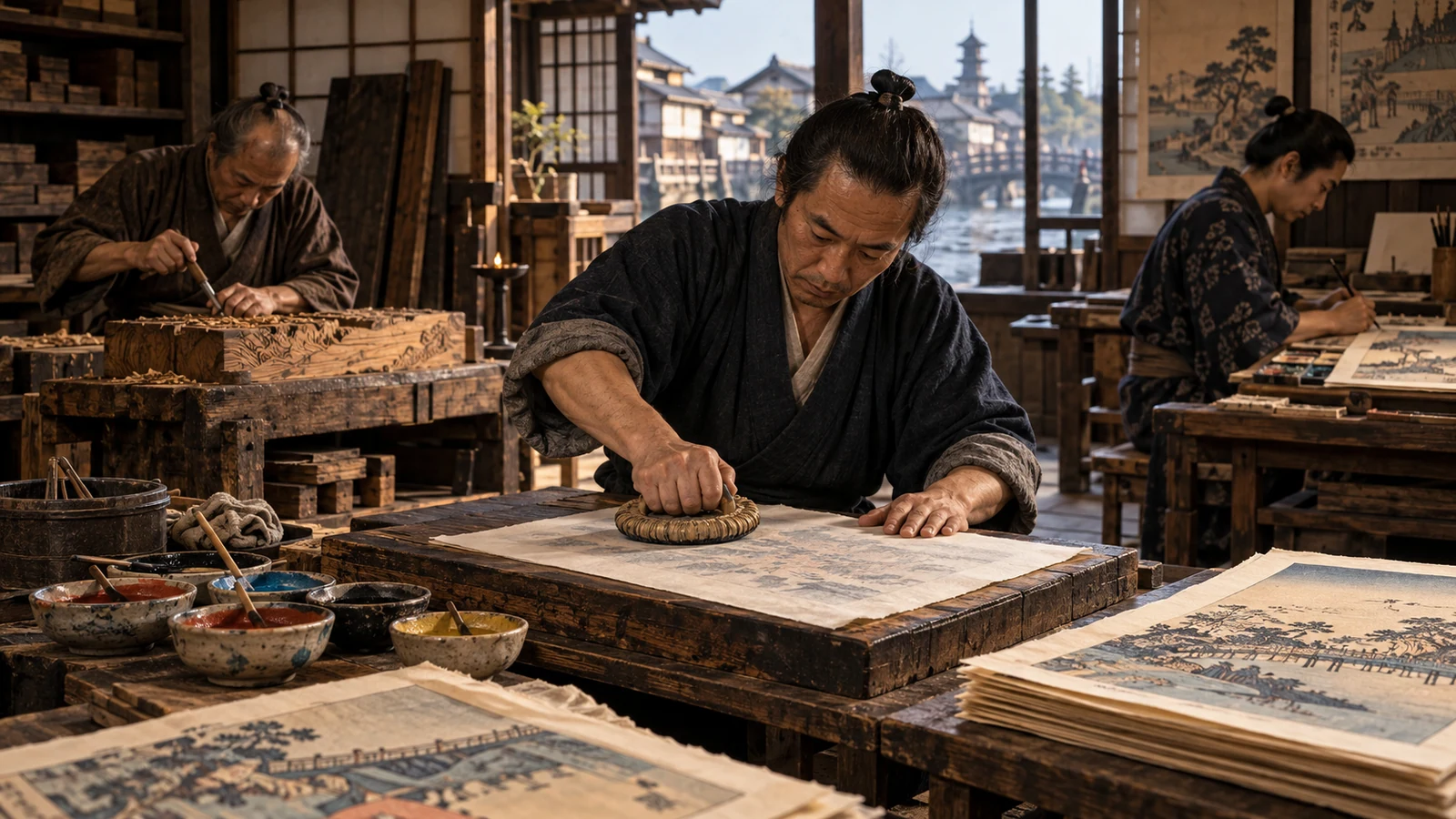
1765–early nineteenth century · Colour woodblock printing
Four professions behind a woodblock print
Publisher, designer, carver and printer: a celebrated artist’s print depended on a team.
Edo, Tokyo1889 · Promulgation of the Meiji Constitution
What the Meiji Constitution established
Original documents explain the emperor, parliament and subjects’ rights.
Tokyo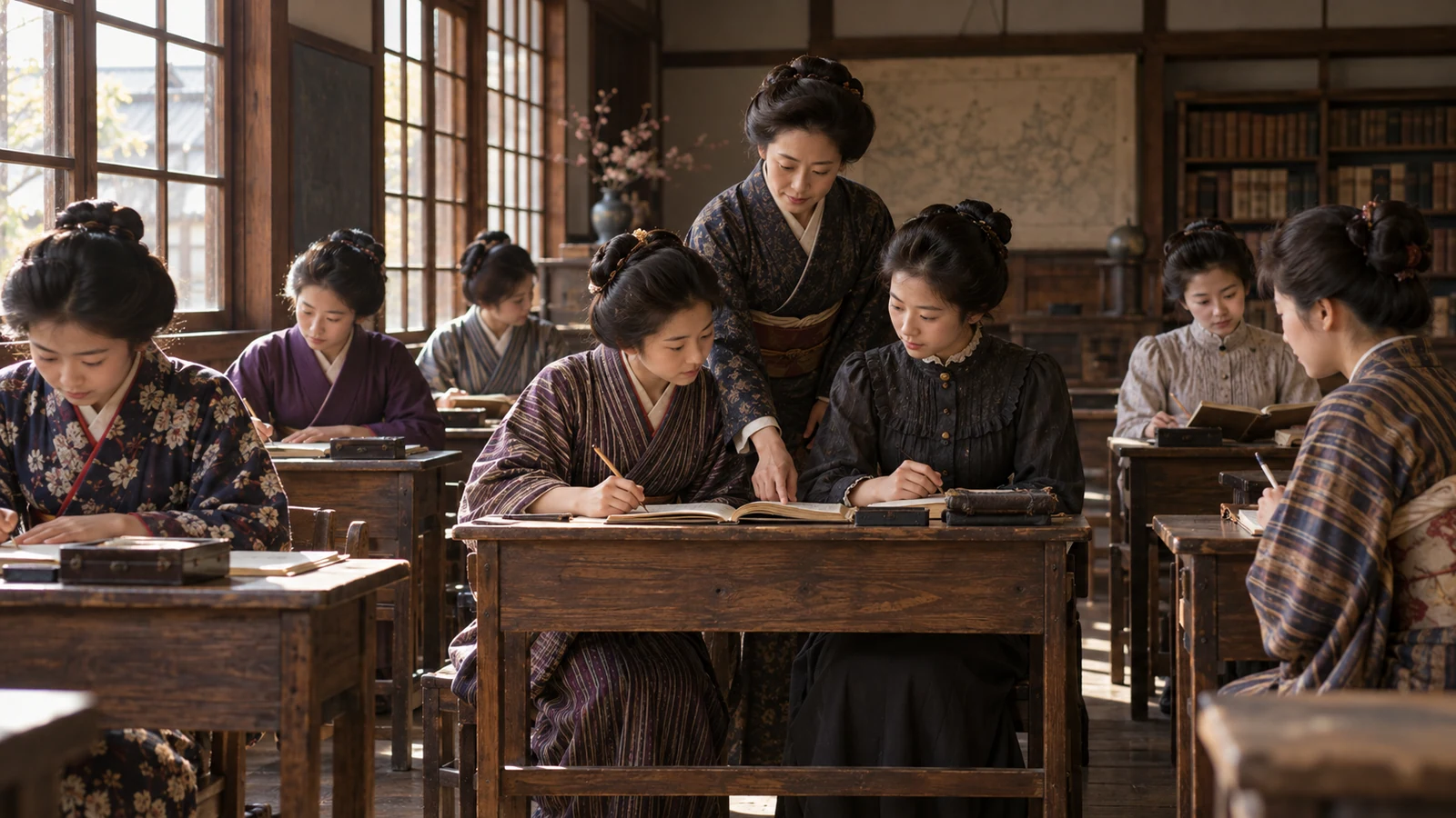
1900 · Opening Joshi Eigaku Juku
The school Tsuda Umeko began with ten students
After overseas study, creating opportunities at home connected higher education to work.
Kōjimachi, Tokyo