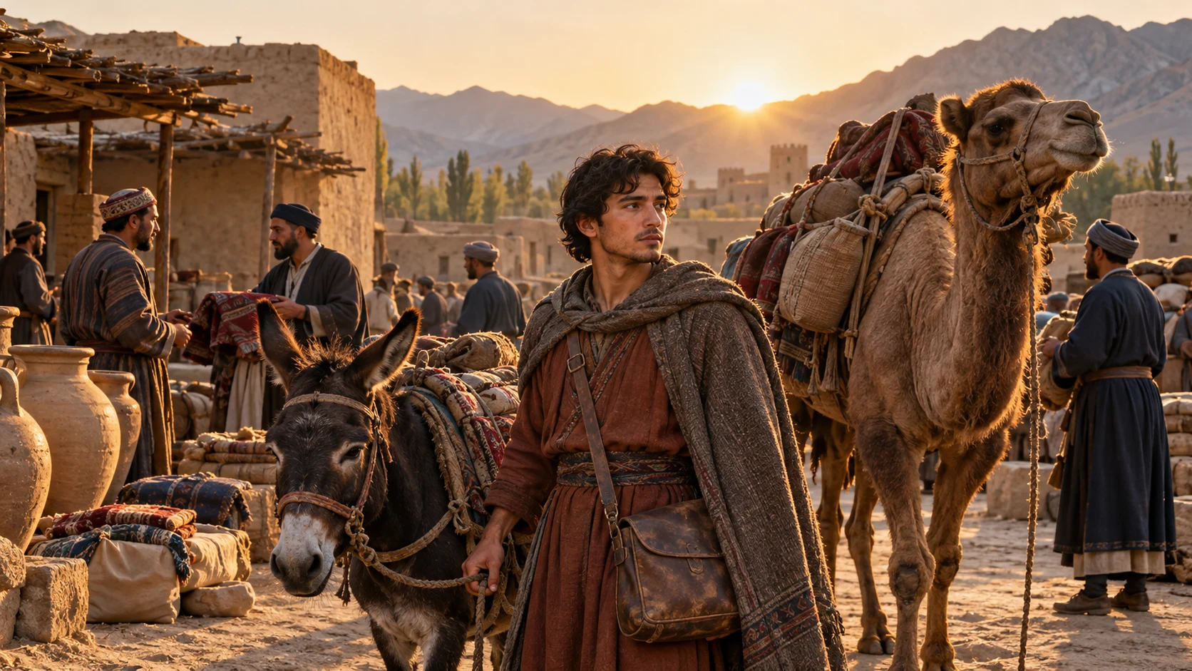
From the second century BCE through the medieval period
The Silk Roads were a network
Goods, languages and skills moved through connected land and sea routes.
Trade through many handovers
Can goods travel far without one merchant making the entire journey?
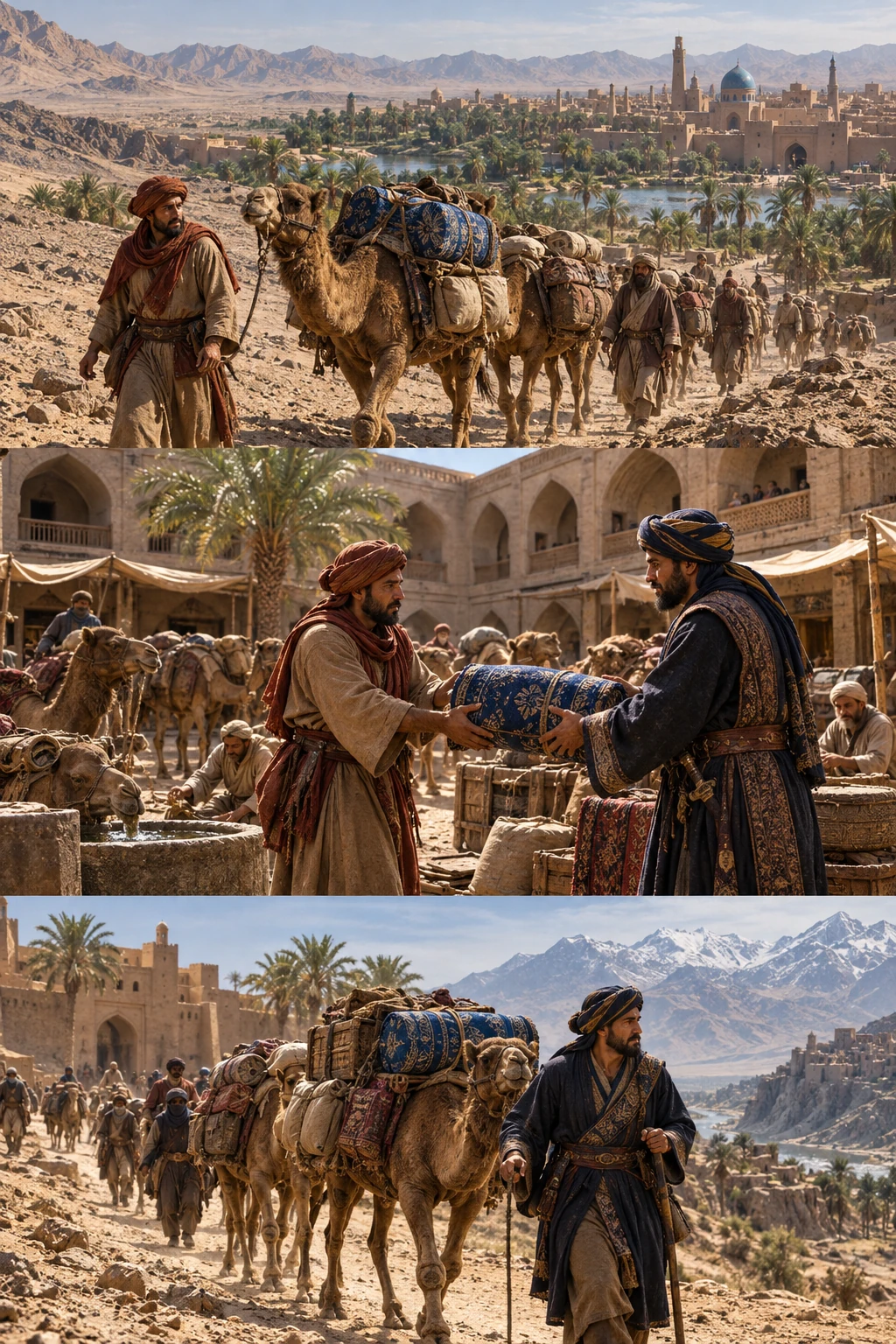
Goods travel one stretch.
Merchants connect particular stretches
Land and sea routes formed networks. Goods sold in an intermediate town could be carried onward by another trader. Cargo distance and one person’s journey are different.
Sources and scope
These illustrations explain processes and institutions rather than reconstructing actual people, buildings or layouts. Cutaways and insets show hidden structures or separate locations.
About the Silk Roads ↗A network rather than one road
Goods could reach the Mediterranean without one merchant traveling from China. Sales and onward transport linked successive stages. The Silk Roads formed branching land and sea networks rather than one dedicated road.
Chang’an–Tianshan sites include cities, passes, stations, defenses and Buddhist caves. The roughly 5,000-kilometer corridor supported different functions within a wider land-and-sea network.
Caravans and urban work
Water and food supplies shaped routes through dry regions. Oasis towns provided rest, sales and news. Transfers to other carriers, pack animals or boats moved goods onward. Traveling caravans depended on settled workers.
Knowledge moving with goods
Travel carried skills and beliefs as well as silk and spices. Receiving societies adapted them. Political changes also altered routes and urban roles, so centuries of connection did not mean unchanging conditions.
The corridor’s exchange expanded from the second century BCE to the first century CE and continued into the sixteenth century. Han, Tang and Central Asian rulers shaped changing access and urban roles.
Before and after
- Around the second century BCE
Approximate starting period examined here.
- Around the first century CE
Land and sea exchanges linked Asian regions.
- 2014
The Chang’an–Tianshan corridor was inscribed as World Heritage.
Key terms
- Relay
- Passing goods onward through different people and places.
- Corridor
- A linked area of routes and nodes of exchange.
- Maritime route
- A shipping route connecting ports.
What supports the account?
Routes formed a network.
UNESCO describes land, sea and exchange nodes.
The same paths were not used in every period.
The corridor contains multiple sites.
The corridor’s heritage documentation.
Its boundaries do not encompass the entire network.
Check your understanding
Choose an answer to reveal the explanation. Return to the article and sources when you are unsure.
Sources
- About the Silk RoadsUNESCO
Land and sea networks, trade in stages and exchanges of knowledge and belief.
- Silk Roads: the Routes Network of Chang’an-Tianshan CorridorUNESCO World Heritage Centre
The network from the second century BCE, way stations, temples and trading cities.
Keep exploring
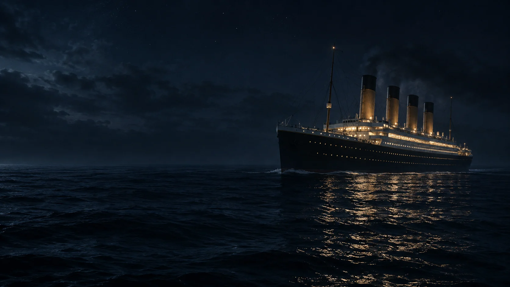
April 1912
Titanic and the systems of safety
Technical achievement and inadequate preparation meet in the voyage and inquiry records.
North Atlantic route
July 1969
Apollo 11: reaching the Moon and returning
Two astronauts on the surface and one in orbit: landing was only part of the mission.
Launch site in Florida / Moon: Sea of Tranquility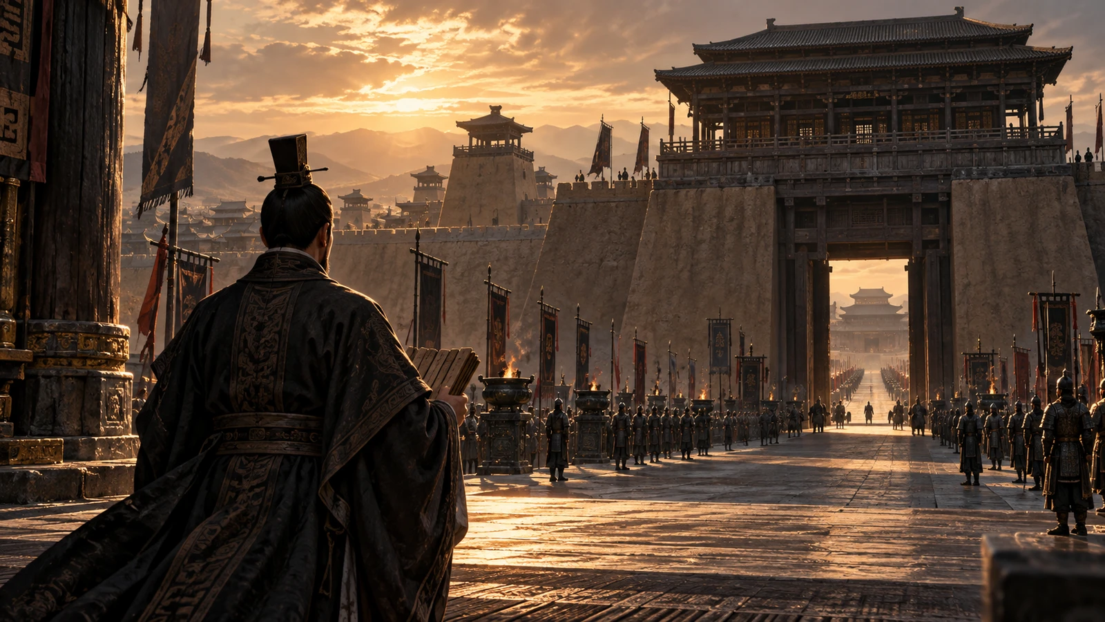
221–206 BCE
Qin unification and the First Emperor
A short-lived empire standardized writing and measures and left an extraordinary tomb.
Qin realm