
1405–1433
Zheng He’s fleets and Indian Ocean ports
Read Ming expeditions through charts, winds and port labor.
Imperial orders meet seasonal winds
Does an order to sail make every season equivalent?
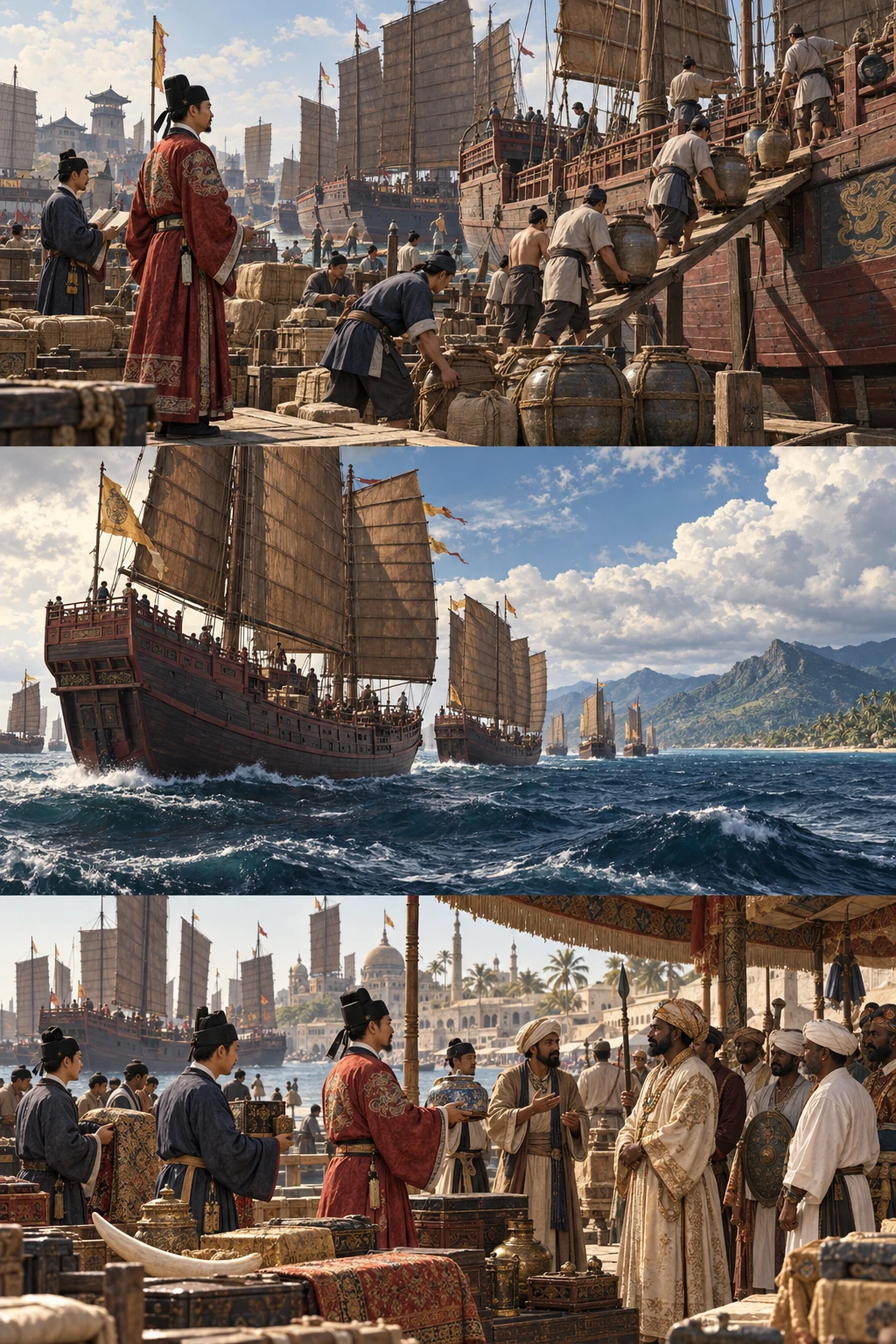
Orders require people, vessels and supplies.
An expedition enters existing networks
The Ming emperor ordered Zheng He’s expeditions. Merchants and connections already existed at their destinations; the fleets did not create every link from nothing.
Sources and scope
These illustrations explain processes and institutions rather than reconstructing actual people, buildings or layouts. Cutaways and insets show hidden structures or separate locations.
Zheng He voyage charts ↗The Indian monsoon ↗Ming envoys entering existing routes
Zheng He’s seven expeditions of 1405–1433 entered seas already connected by merchants and ports. The Ming court deployed gifts and armed power to expand relationships with the emperor, rather than creating maritime exchange from nothing.
Charts and knowledge operating fleets
Read from right to left, the Mao Kun charts change orientation and scale between sections. Ports, islands and mountains follow the voyage from near Nanjing; a return route includes Temasek and Pedra Branca. They prioritize recognizable landmarks and onward directions over uniform surveying.
Gifts, tribute and force
Trade, imperial tribute and armed power all formed part of the expeditions. A proposed original for the Mao Kun charts dates to about 1425–1430. Mao Yuanyi later compiled them into a work published in 1628; the National Library of Singapore holds a late nineteenth-century edition. Voyage and surviving printed copy have different dates.
Before and after
- 1405
The first expedition.
- 1431–1433
The final expedition.
- 1621
Mao Yuanyi’s compilation of Wubei Zhi.
- 1628
Wubei zhi, compiled in 1621, was published.
Key terms
- Tribute
- Sending gifts and envoys within a political relationship.
- Mao Kun map
- Navigational charts associated with Zheng He’s voyages.
- Navigation landmark
- A feature helping sailors judge direction or location.
What supports the account?
Merchants and sailors already inhabited these ports. The expeditions connected existing centers rather than simply discovering an empty sea.
Dates of seven voyages, tribute, trade and Mao Kun charts. Chart structure, debated origins and representations of ports and mountains.
Do not erase traders predating the expeditions.
The charts mix plan views with elevations of mountains and cities. Ask what helped sailors rather than dismissing unfamiliar conventions.
Dates of seven voyages, tribute, trade and Mao Kun charts. Chart structure, debated origins and representations of ports and mountains.
Chart origins and later publication dates are distinct.
Check your understanding
Choose an answer to reveal the explanation. Return to the article and sources when you are unsure.
Sources
- Mapping the World exhibition guideNational Library Board Singapore
Dates of seven voyages, tribute, trade and Mao Kun charts.
- Stories from the Stacks: the Mao Kun MapNational Library Board Singapore
Chart structure, debated origins and representations of ports and mountains.
- Silk Road Diplomacy: Twists, Turns and Distorted HistoryYaleGlobal / Yale University
Military force and political relationships; contemporary diplomatic comparisons are not used here.
Keep exploring
1911–1912
From the Xinhai Revolution to the Republic
An uprising, Qing abdication and a new republic ended a dynasty without resolving every conflict.
Wuchang, now Wuhan / Nanjing
Comparing 1377 and the 1450s
Gutenberg and the work of movable type
Type, printing and hand decoration reveal workshop processes.
Mainz / Cheongju
1325–1355
How to read Ibn Battuta’s travels
A pilgrimage became a long journey recorded afterward.
Tangier / Delhi