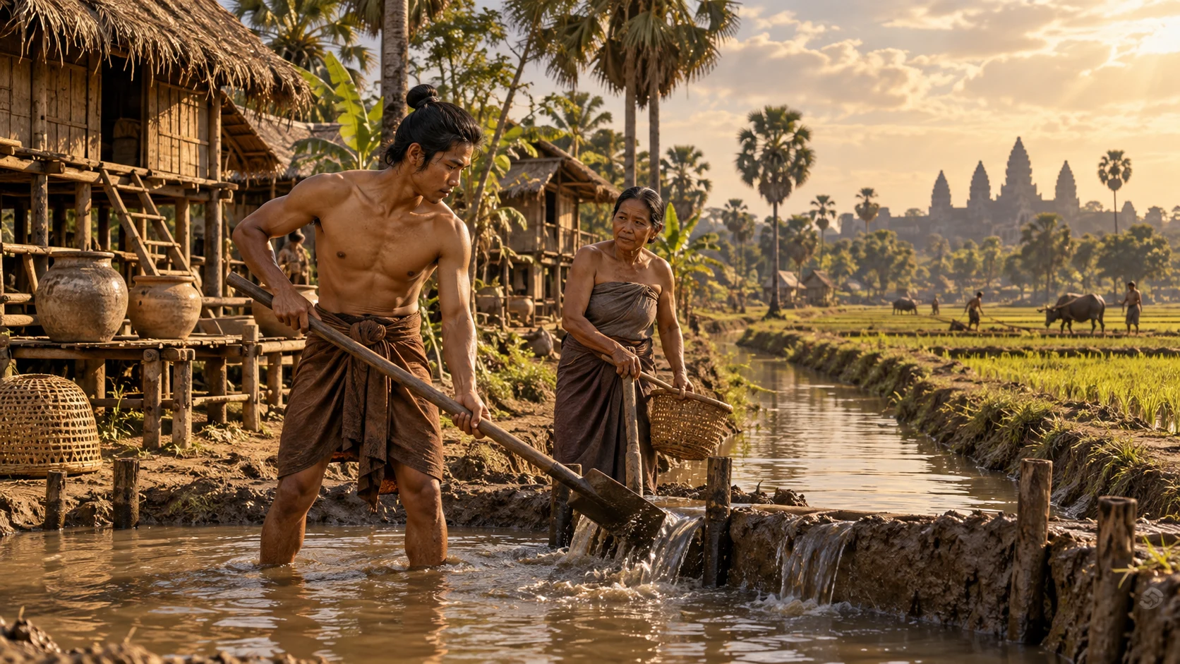
Ninth–fifteenth centuries
Water and the cities of Angkor
Beyond the temples lay a vast urban landscape of reservoirs and canals.
Connecting water storage to inhabited places
What changes between wet and dry conditions?
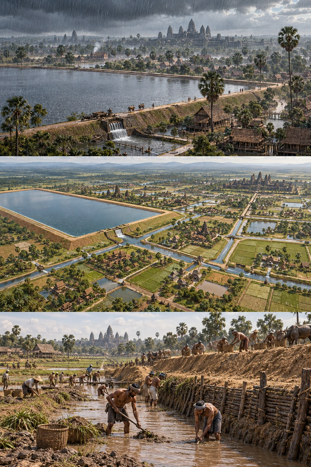
Water concerns the wider landscape.
The city extends beyond temples
Angkor comprised temples and a wider urban landscape of reservoirs, embankments and canals. Connect those less visible structures with inhabited places.
Sources and scope
These illustrations explain processes and institutions rather than reconstructing actual people, buildings or layouts. Cutaways and insets show hidden structures or separate locations.
Angkor ↗A capital beyond the temples
Angkor is not one temple. Capitals from the ninth to fifteenth centuries spread across a landscape containing twelfth-century Angkor Wat and the later Bayon of Angkor Thom. Fields, villages and roads sustained them; different royal projects combined Hindu and Buddhist forms across changing periods.
Moving water and maintaining a city
Barays store water while channels move it. Their operation depended on terrain and continuing maintenance. After monumental construction ended, work on water and land still sustained urban life.
Changing capitals and continuing lives
Changing political status did not erase habitation. Villages and agriculture remain; tourism workers and users of farmland and water face different conditions. Conservation involves adjusting land use and livelihoods as well as repairing monuments.
Before and after
- Around the ninth century
Development of the capitals examined here.
- Around the twelfth century
The construction period of Angkor Wat.
- 1992
World Heritage inscription.
Key terms
- Baray
- A large reservoir in the Angkor landscape.
- Canal
- An artificial channel carrying water.
- Cultural landscape
- A landscape shaped by human activity and environment.
What supports the account?
Angkor contains capitals of several periods. Roads and water systems reveal a landscape beyond photographs of towers.
Khmer capitals of the ninth to fifteenth centuries, reservoirs, canals and living communities. Investigation and restoration of old canals for flood management and agriculture.
Structures within the region date from different periods.
Channels require maintenance after construction. Work with soil and water reveals continuing labor supporting the built landscape.
Khmer capitals of the ninth to fifteenth centuries, reservoirs, canals and living communities. Investigation and restoration of old canals for flood management and agriculture.
The purpose of every channel cannot be generalized.
Check your understanding
Choose an answer to reveal the explanation. Return to the article and sources when you are unsure.
Sources
- AngkorUNESCO World Heritage Centre
Khmer capitals of the ninth to fifteenth centuries, reservoirs, canals and living communities.
- Restores ancient canalsAPSARA National Authority
Investigation and restoration of old canals for flood management and agriculture.