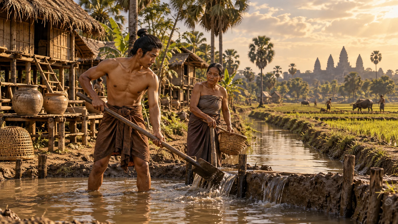
Around the twelfth century · A fictional settlement near Angkor
Once more, after the rain
Follow water through a settlement near Angkor
Supply the field and drain water away from the house.
Opening only one channel will not protect a neighbour’s home.
Begin the storyPreparing your story…
Explore the diagram: Connecting water storage to inhabited places
Connecting water storage to inhabited places
What changes between wet and dry conditions?
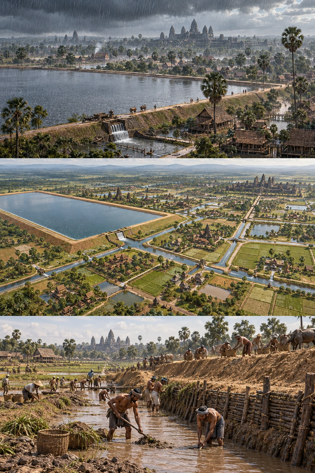
Water concerns the wider landscape.
The city extends beyond temples
Angkor comprised temples and a wider urban landscape of reservoirs, embankments and canals. Connect those less visible structures with inhabited places.
Sources and scope
These illustrations explain processes and institutions rather than reconstructing actual people, buildings or layouts. Cutaways and insets show hidden structures or separate locations.
Angkor ↗Dara, Srey, Kea, the father, events and conversations are fictional. The canal layout is invented for simplified flow and task models, not a reconstruction of twelfth-century gates, mechanisms or techniques. Modern conservation sources are not used as proof of identical ancient procedures.
Explore the time and placeSources
- Angkor ↗
UNESCO World Heritage Centre · Khmer capitals of the ninth to fifteenth centuries, reservoirs, canals and living communities.
- Restores ancient canals ↗
APSARA National Authority · Investigation and restoration of old canals for flood management and agriculture.
- Environment, Water & Forestry management — Hydraulic network ↗
APSARA National Authority · Current canal and dyke rehabilitation, conserving hydraulic infrastructure and attention to flooding and livelihoods; not specific ancient gates or repair procedures.